

People
Downloads
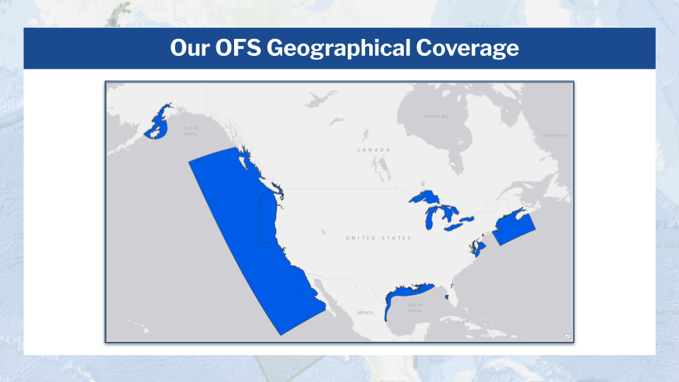
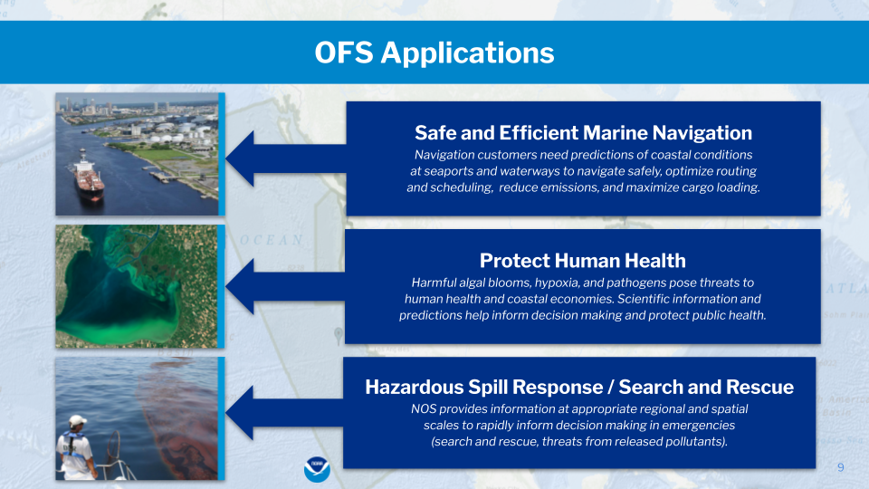
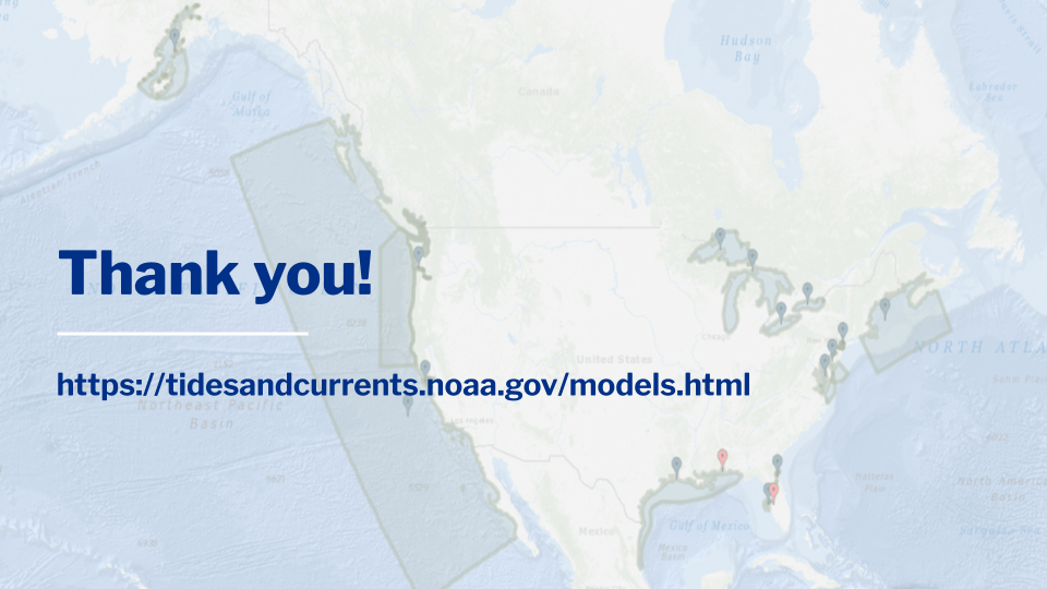
The National Oceanic and Atmospheric Administration’s National Ocean Service (NOAA/NOS) implemented its first Operational Forecast System (OFS) in 2001. Today the agency manages 15 separate systems in 4 regions of the United States: the Great Lakes, Gulf of Mexico, Atlantic coast, and Pacific coast.
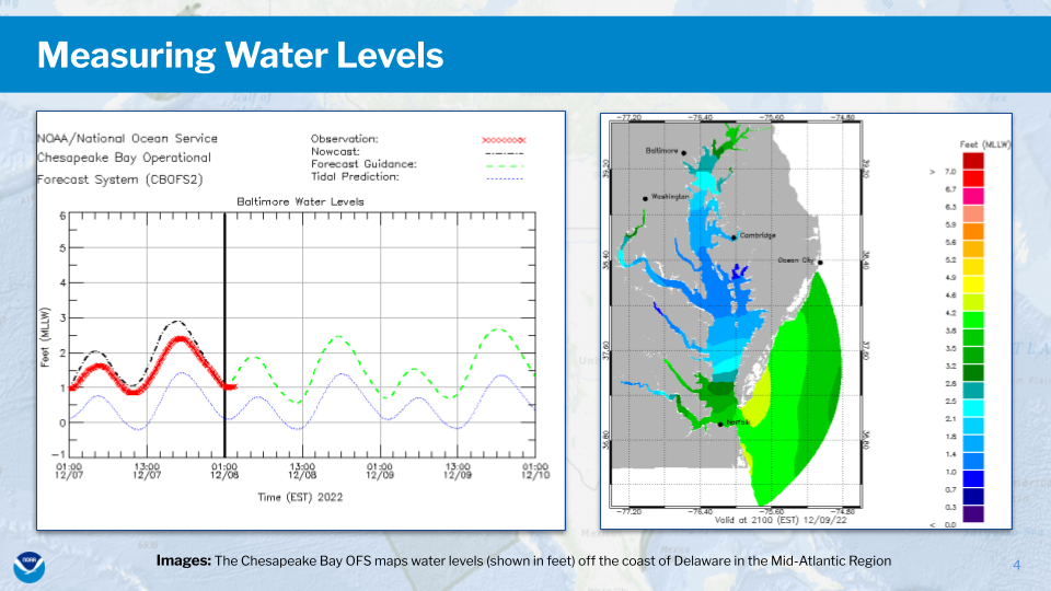
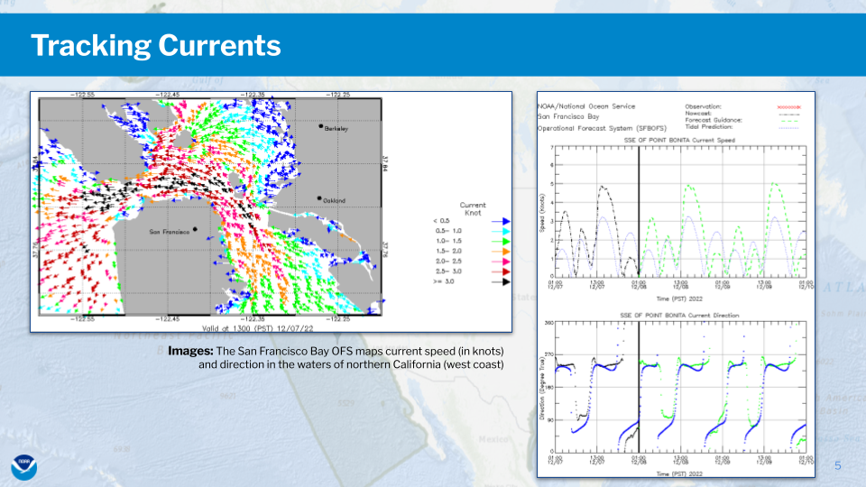
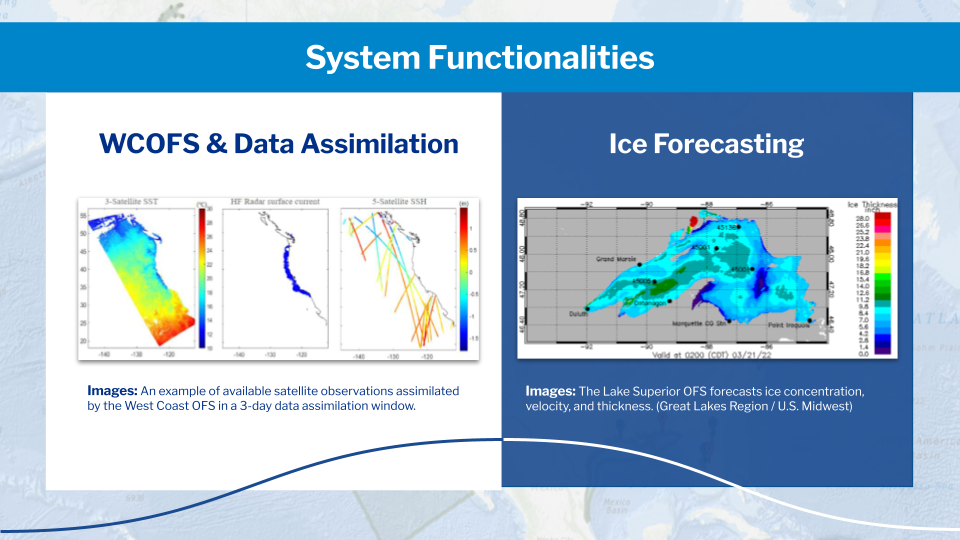
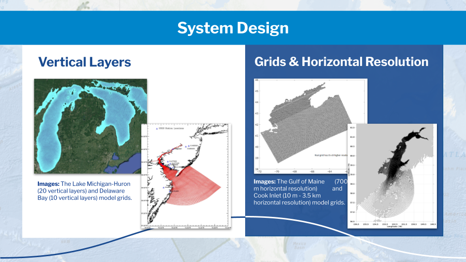
Each of these systems utilizes state-of-the-art numerical hydrodynamic models driven by real-time data and meteorological, oceanographic, and hydrologic forecasts to generate nowcast and short-term (up to 120 hours) forecast guidance for water levels, currents, salinity, temperature, and ice coverage, concentration, and thickness in the Great Lakes.
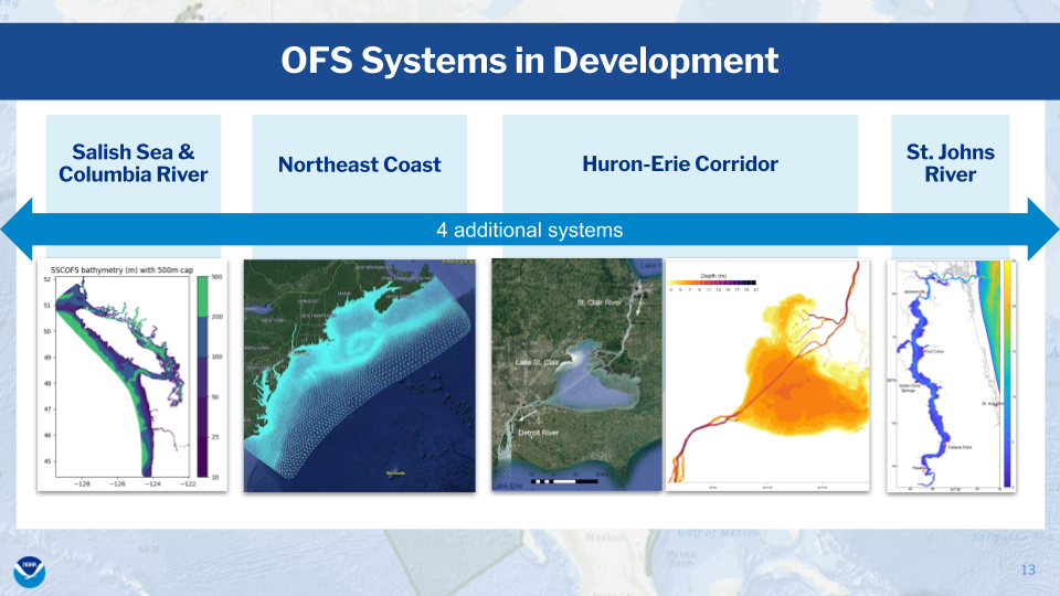
Over the coming years, NOAA/NOS will implement an additional 4 Operational Forecast Systems in critical ports, harbors, estuaries, the Great Lakes, and coastal U.S. waters to enhance the national backbone of real-time data, tidal prediction, data management, and operational modeling. Please visit the tidesandcurrents.noaa.gov website to view individual systems.
Follow us