
JCOPE I Japan Coastal Ocean Predictability Experiment by JAMSTEC
People
Downloads
| Attachment | Size |
|---|---|
| JAMSTEC-JCOPE-overview.pdf | 34.49 KB |
| Distribution-of-JCOPE2M-reanalysis-data.pdf | 1.49 MB |
The JCOPE has begun October 1997 under the initiative of the Frontier Research Center for Global Change (FRCGC), which is supported jointly by Japan Aerospace Exploration Agency (JAXA) and Japan Agency for Marine-Earth Science and Technology (JAMSTEC).
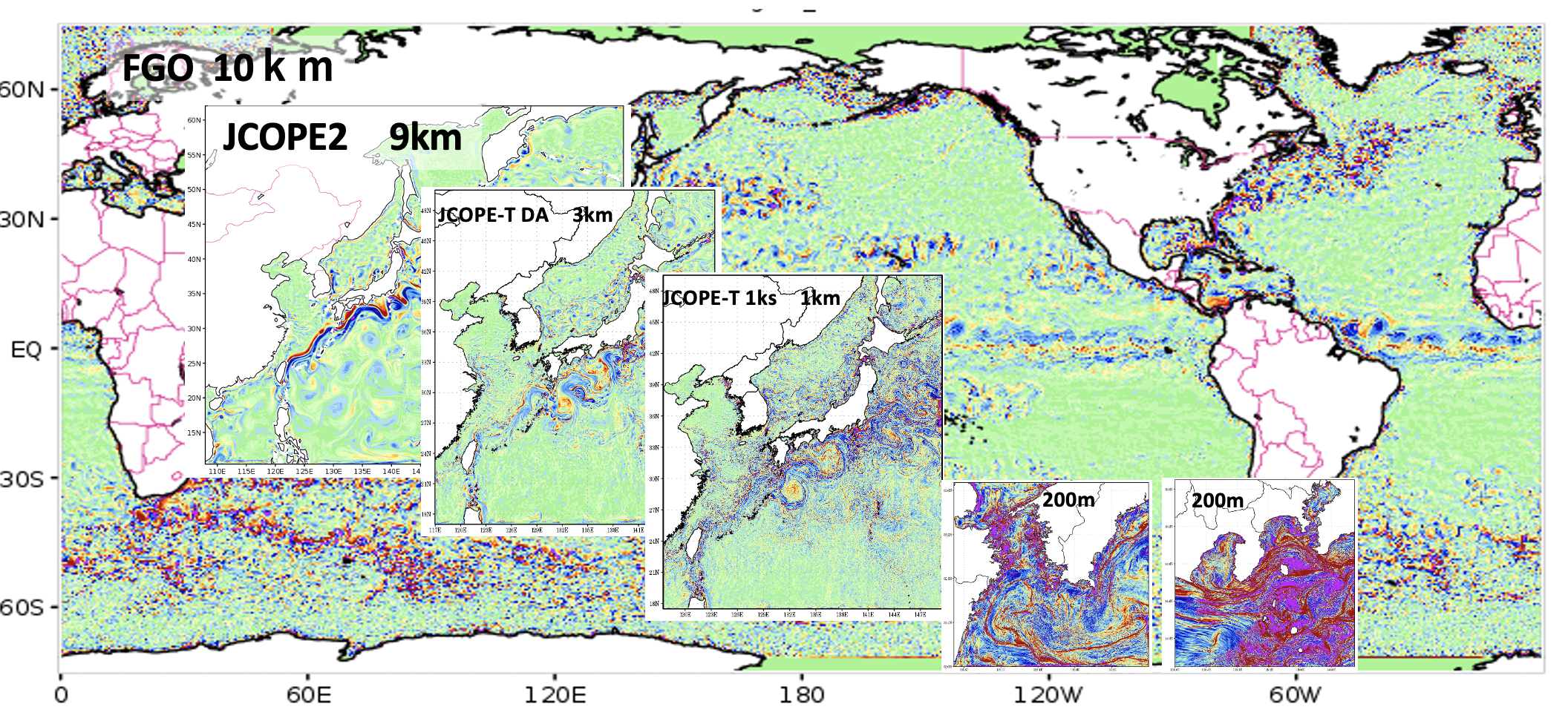
The present JCOPE system has achieved near operational forecast using almost all available data obtained from satellites, ARGO floats and ships.
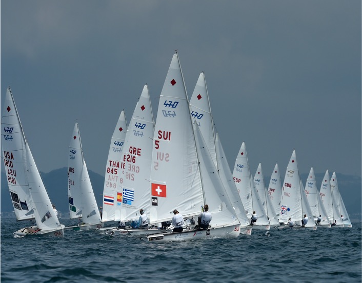
The routine prediction of oceanic variation ("ocean weather forecast", Yamagata, 2002), combining with in-situ verification of the results, will significantly contribute to improve atmosphere-ocean models for prediction of longer-term climate change. Moreover, we have developed various kind of applications of our ocean weather forecast. Fisherier Reseach Agency (FRA) has operated first version of JCOPE ocean forecast system (JCOPE1; Miyazawa et al.,2008a; Kagimoto et al.,2008) since April 2007 for management of fishery resources off Japan through development of coupling with ecosystem models (FRA-JCOPE; Miyazawa et al., 2008b).
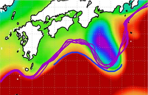
JAMSTEC has further developed second version of the system (JCOPE2) with enhanced model and data assimilation schemes (Miyazawa et al., 2008b; 2009). JCOPE1 was mainly used to analyze the Kuroshio path variation south of Japan (Miyazawa et al.,2004;2005;2008a). We modified both the model and data assimilation schemes for better representation of the oceanic states especially in the Mixed Water Region.
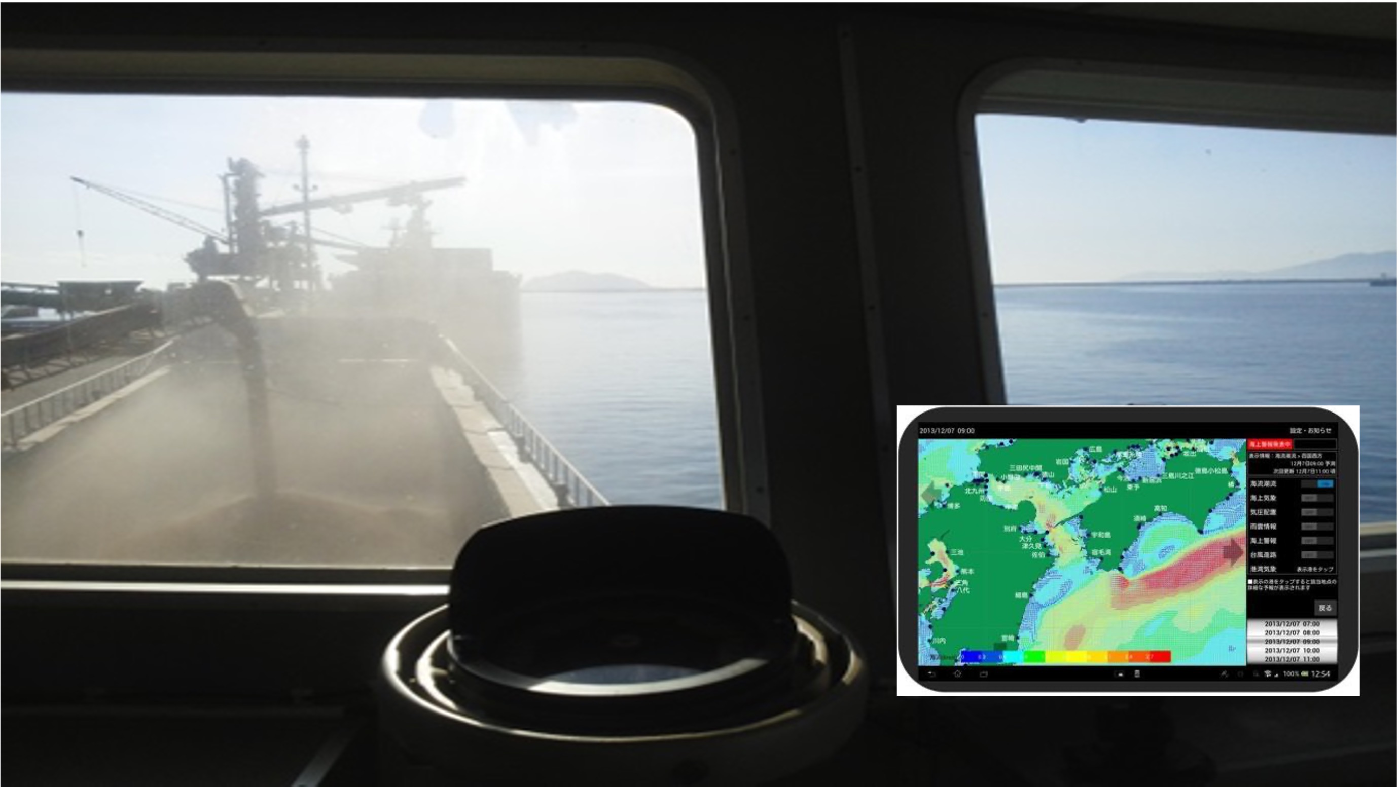
The output of JCOPE2 is used for ship routing of oil tankers, fishery and drilling ships. Recenly we have created new reanalysis data (FRA-JCOPE2) from 1993 to 2009 by assimilating huge amount of the in-situ data around Japan (Miyazawa et al., 2010).
Follow us